

Single-family detached house via Po, Bassano in Teverina
Bassano in TeverinaVia Po- € 12,000
- 3
- 70m²
- 1
- No
Description
This description has been translated automatically by Google Translate and may not be accurate
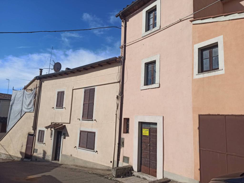
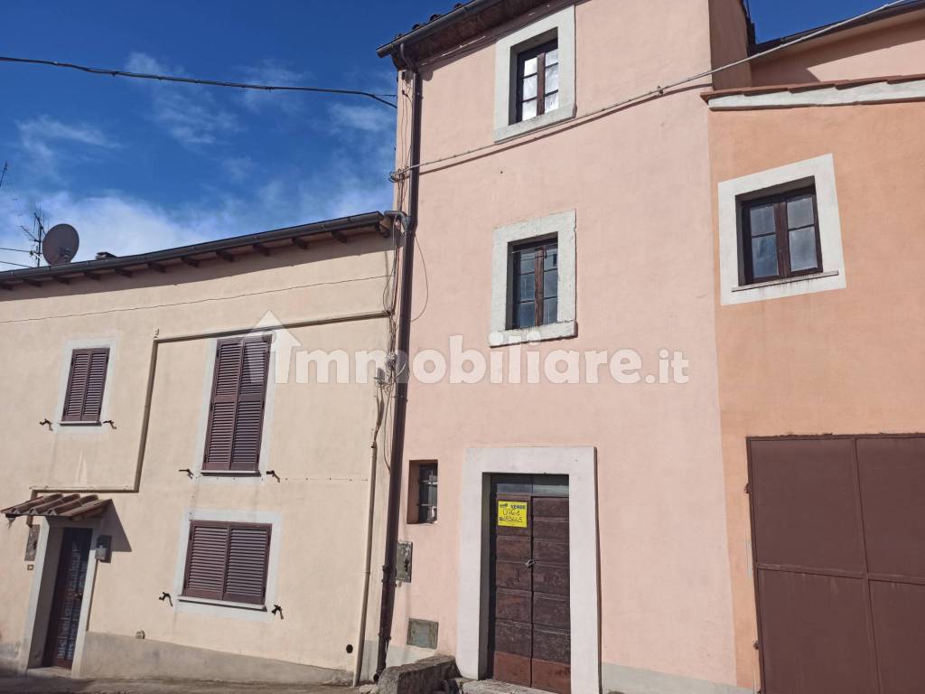
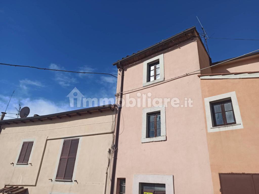
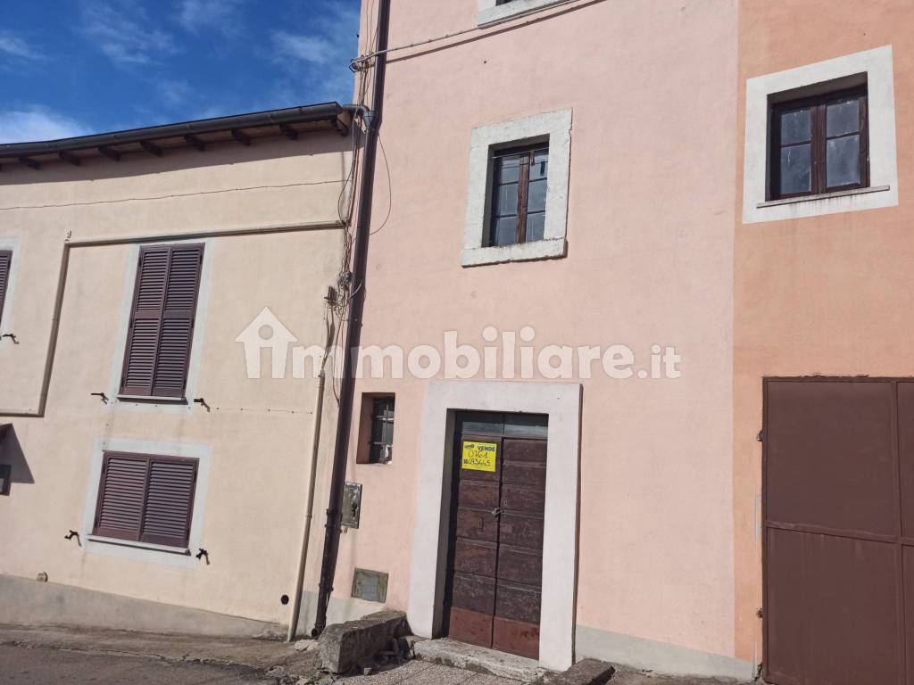
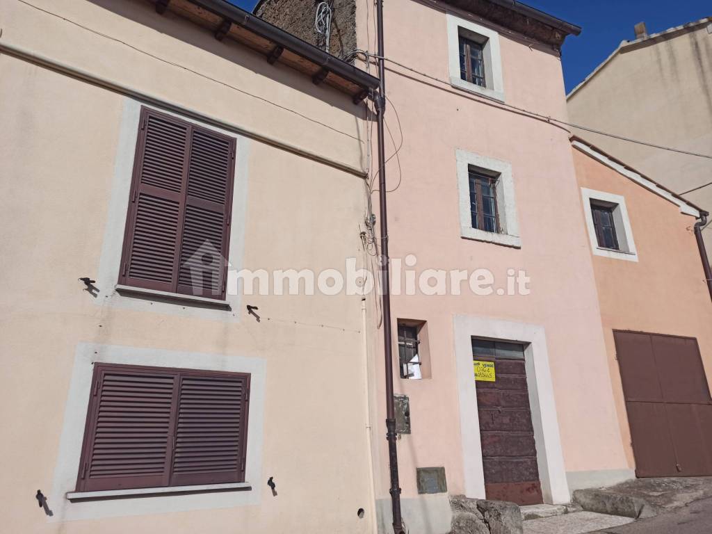
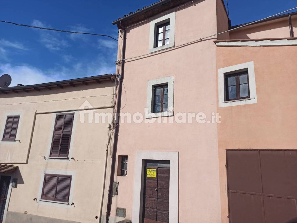
Bassano in Teverina - in the center of the village, a stone's throw from the main square and very close to the village, we offer a multi-level townhouse completely to be restored.
The origin of the country is extremely uncertain. The ending of the name, deriving from the Latin adjectival suffix -anus, takes us back to Roman times and, combined with the root of the name, recalls the family name (Bassus) of a character who owned large estates in the area: Bassus>Bassanus>Bassano.
The center of Bassano in Teverina was born on a tufaceous spur in a slightly set back position with respect to the Tiber valley, of which it overlooks a part. Its position, hidden by the surrounding hills, does not easily allow the visibility of neighboring towns such as Mugnano, Attigliano, Chia and Bomarzo. However, a sighting and communication system must have existed thanks to the hills of Sasso Quadro (324 m asl) and Poggio Zucco (318 m asl), connected directly to Bassano through ancient roads and sites of ancient settlements, testified by the remains of buildings and other buildings.
Downstream of the town, not far from the Tiber, is Lake Vladimonio or Lake Vadimone, locally known as the "Laghetto", described by Pliny the Younger as "a wheel lying down, with a circumference regular throughout, paler, greener and more intense in color than marine". Today almost entirely buried, it is periodically fed by sulphurous springs which pour milky waters which, together with marshy vegetation and mineral deposits, form clusters of a certain consistency which must have suggested the idea of "floating islands" some Latin authors wrote. In Roman times the lake, called Lacus Vladimonis, in addition to being larger, was also considered sacred: near its shores the Etruscans performed periodic rites and festivals, while the Romans immersed their weapons in its waters to make them invincible.
Built on the last slopes of the Cimini mountains, Bassano represented an obligatory point of passage along the route that led from Soriano to the Tiber and also exercised an important strategic function on the valley. Already inhabited in Etruscan times, it was abandoned during the domination of the Romans, who had conquered the whole surrounding area and conquered the territory after two bloody battles: the first in 309 BC, under the guidance of the consul Quinto Fabio Rulliano and the second in 283 BC , with which they definitively defeated the Etruscans and the Senones, a population of Gallic origin who had previously occupied the territory. According to a legend, on that occasion the waters of the Tiber River turned red and carried with them the corpses of the enemies to Rome, announcing the victory to the population. Once they took possession of the place, the Romans, to consolidate the acquired dominion over the Etruscan people and watch over Tiberian navigation, founded a castrum on these hills, identified with the name of Castrum Amerinum (it is believed to be the current Palazzolo di Vasanello), to a topographic map made by the Mattei family in the second half of the 17th century. The site was recovered between the 9th and 10th centuries when, under the threat of the Hungarians, it regained importance both for its easily defensible position and for its proximity to the Via Amerina, a Roman road still in use at the time.--de8b0cedfdc042ac0e6608bb2e85253b!
Information
- other features
- External exposureSingle tv systemWindow frames in glass / wood
Features
- Reference and listing Date
- 77125 - 02/01/2023
- contract
- Sale
- type
- Single-family detached house | Full ownership | Economic property class
- surface
- 70 m² - See detail
- rooms
- 3 (2 bedrooms, 1 other), 1 bathroom, kitchen nook
- floor
- Ground floor
- total building floors
- 2 floors
- Car parking
- 1 in shared parking
- availability
- Available
- other features
- External exposureSingle tv systemWindow frames in glass / wood
Expenses
- price
- € 12,000
- condominium fees
- No condominium fees
Energy efficiency
- year of construction
- 1950
- condition
- To be refurbished
- Energy Efficiency
- G≥ 175 kWh/m² year
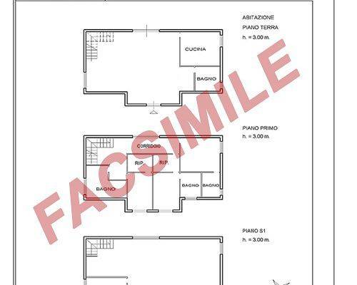
Floorplan
Discover the best electricity and gas offers

E-Light Luce
Enel Energia's fixed-price electricity offer is more convenient for you

E-Light Gas
Enel Energia's fixed-price gas offer is more convenient for you
Additional options